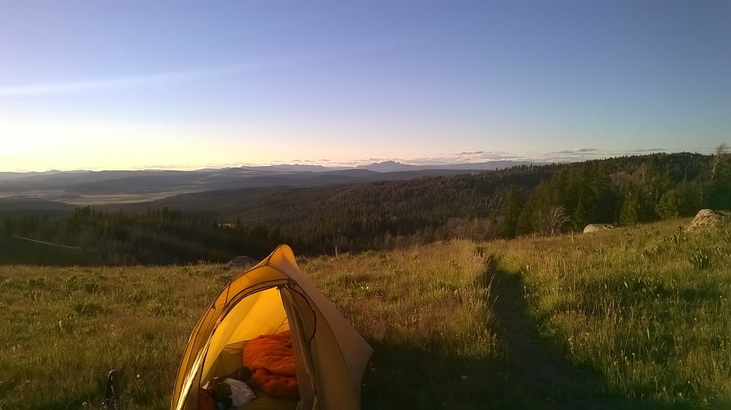
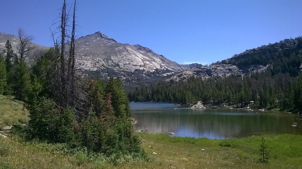
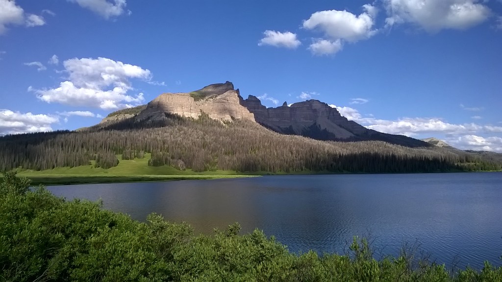
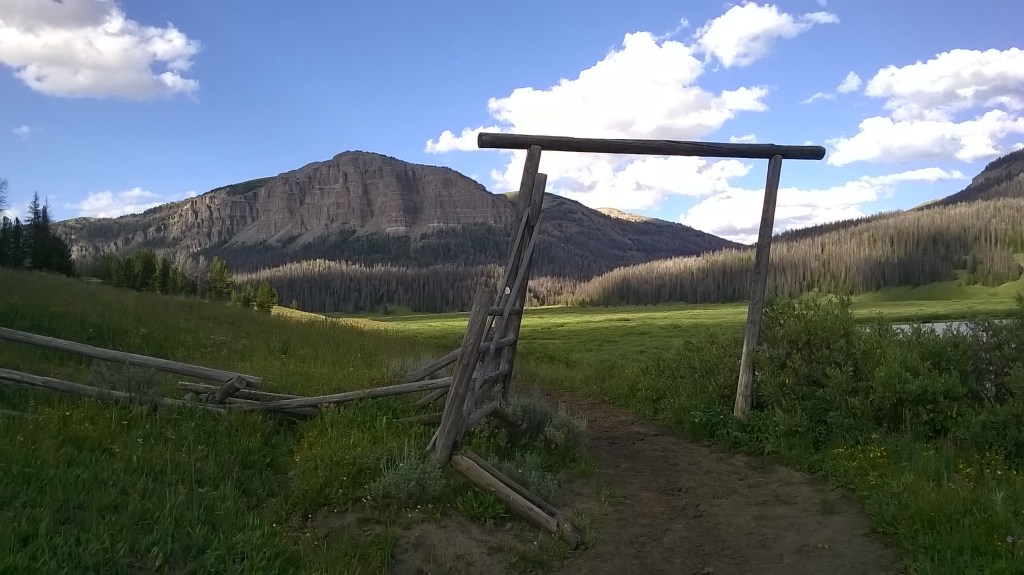
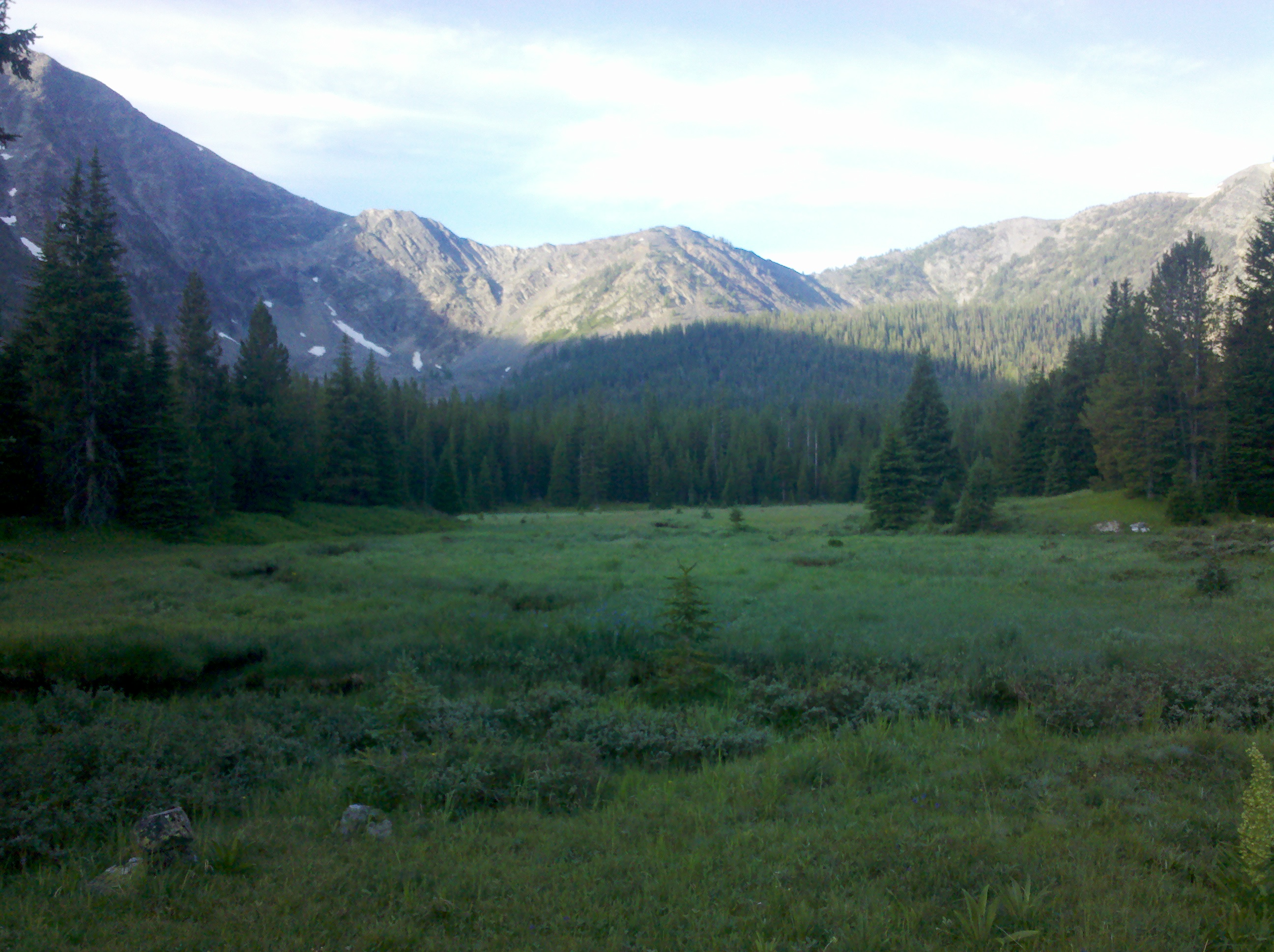
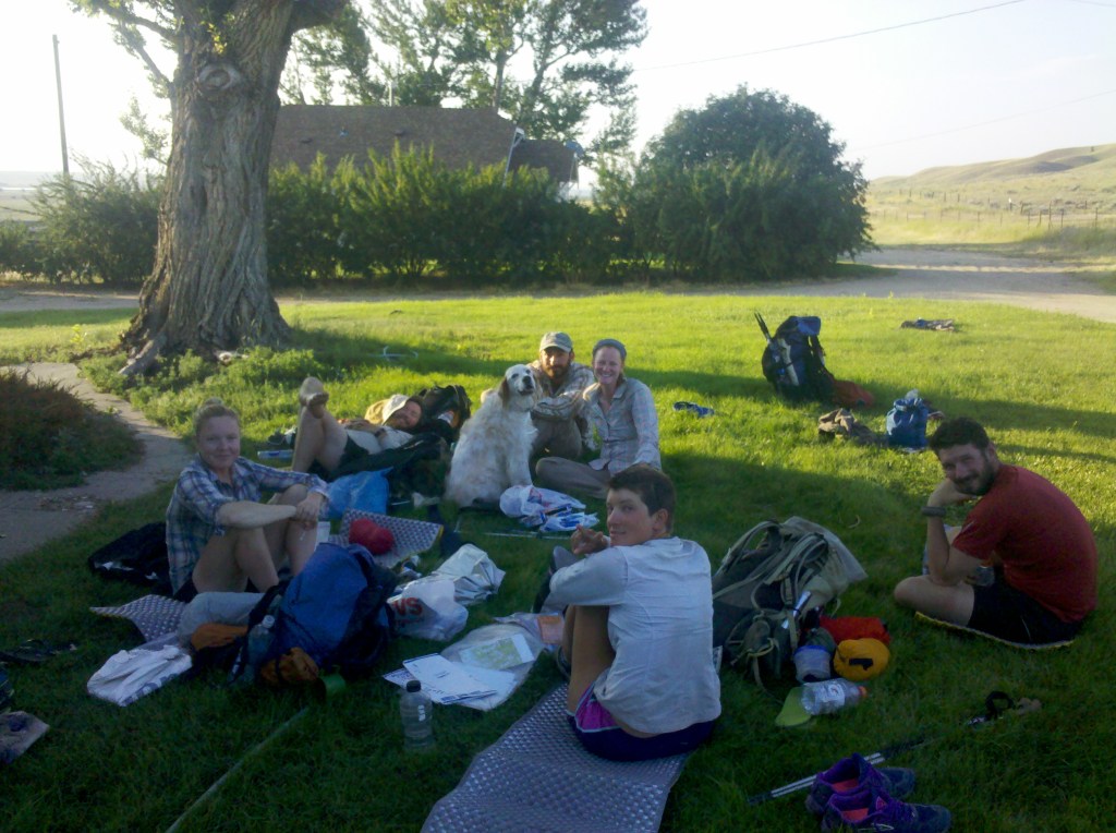
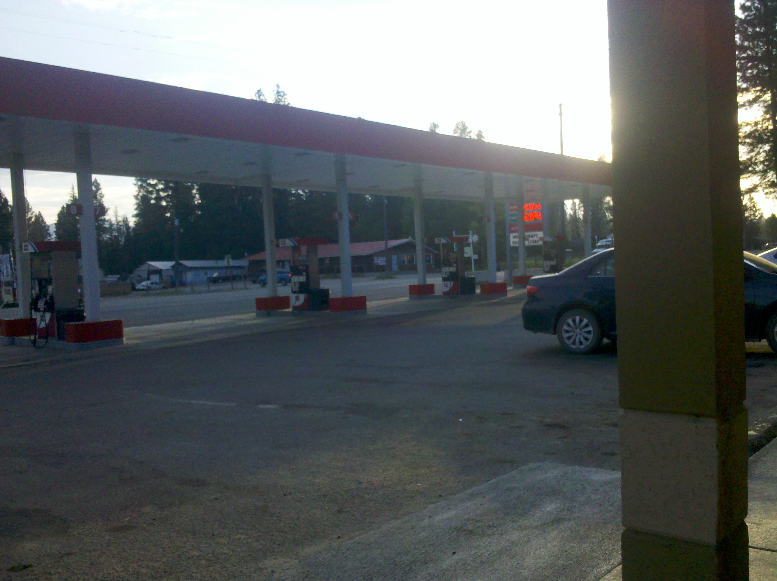
Heading down into the town with Tribhu and Kirsten was a surprise. I had planned on having a day off here with rumours of a lush green village square to camp on, but Tribhu had other ideas. ‘Dude, I will buy you beers tonight in the bar, if you hike over the divide with me tomorrow?’ This was a split decision for me initially, as I was still slightly hesitant from my injury I’d had since Mac’s Inn. I shall also point out the Divide Basin is a roughly 122 mile stretch of desert like scrub land, scorching hot, with little water and no shade. I said I would come out for a beer at least before deciding. In the town I discovered I could stop at a Noels outdoor education center with a hot shower and cheap laundry services, so booked in there instead of camping. A while later I walked down to the bar after a refreshing shower and joined them. No sooner was the first pitcher was on the table and refreshing bubbly beer hitting my mouth, than I decided I should cross the divide with Tribhu. We drank a fair few beers but called it a night before too long, on account of wanting an early start. I said I would meet them at the supermarket as I still needed to resupply. I also received a message from Kathleen, she was camped at South Pass City, and asking how things were going. She had skipped ahead and had this one last section before heading to a wedding and having a couple weeks off. South Pass city is a historic town few miles into the basin, but could be cut off with some cross country. Cross country here is just walking across a flat. I said Tribhu and I would be hiking across, and there was a small chance we would catch up.
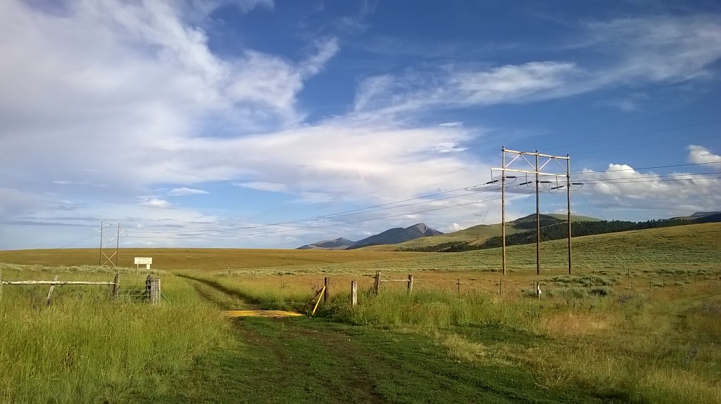
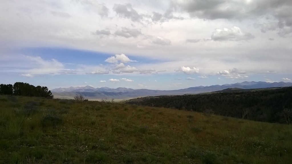
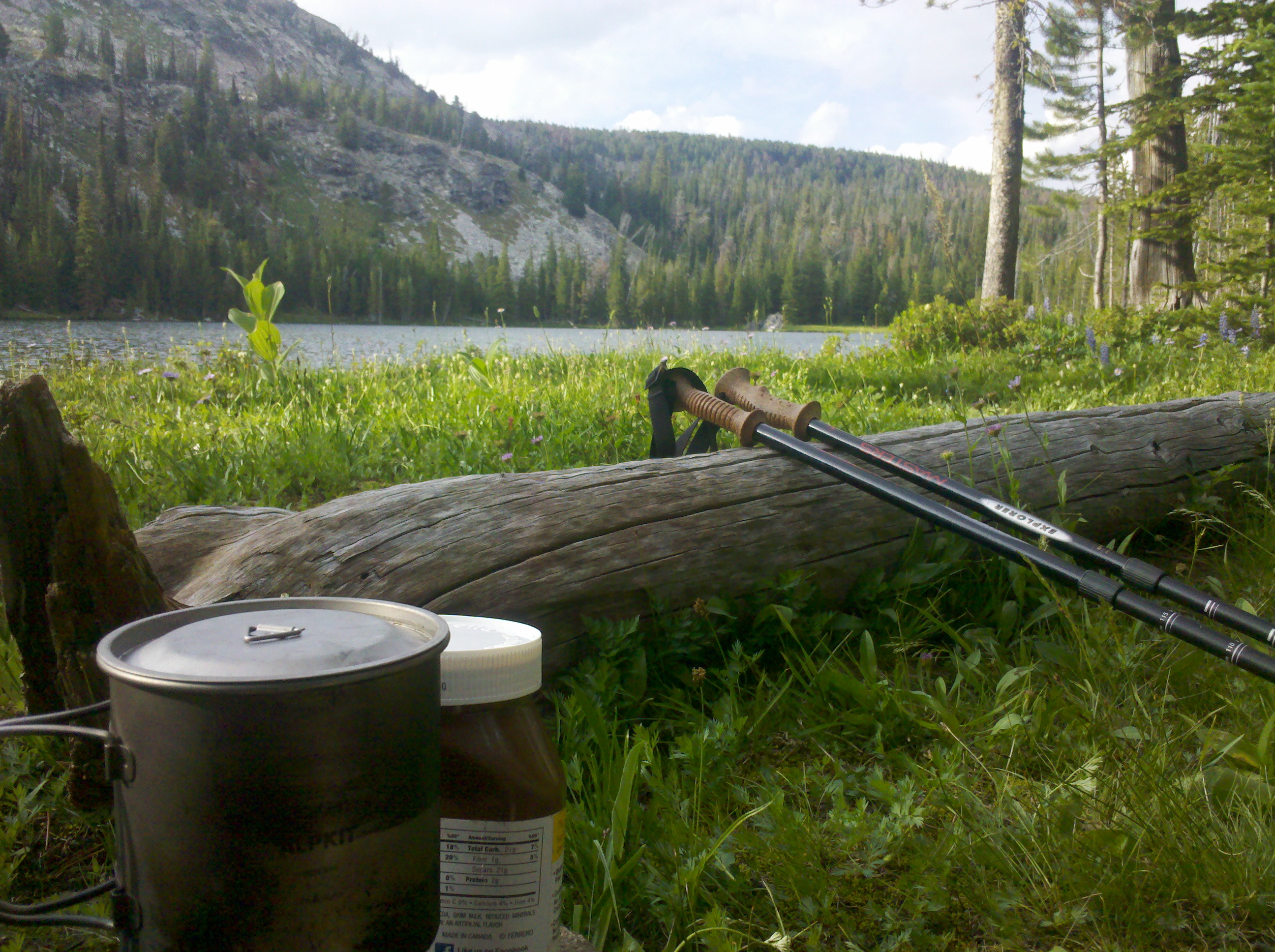
The next morning I grabbed standard food: ramen noodles, snicker bars, the kind of junk diet that would make you cringe in normal life, but it was now, well, standard. I grabbed a coffee and 4 new water bottles and started drinking the coffee. Tribhu sorted food for himself then we set off to the pass. I had a headache and was heading for a desert pan, but other than that life was good. Somewhere between mid and late morning we set off. We put on some tunes and relaxed into in. When I say relaxed, I mean we paced across, aiming for a small spring marked on the map approximately 17 miles in. The spring was a tiny patch of ground barely noticeable from the trail, but after scraping slime of the surface it provided good drinking water. We relaxed here for an hour or so and ate lunch in the shade of my tent flysheet, propped like a sail over the connected poles. After checking our average speed we found we were going over 4mph. This was a great boost knowing our pace would get us there in decent time. As the sun eased we set off again and found our next spring well maintained. For this desert area, a safe practice is to presume the next spring will have no water, and the one after might. So carrying water in excess is a reasonable thing to do. It gave a strange feeling walking away from a mountain range, and after a while no matter how far I walked, the mountains seemed neither closer nor further away. Like being trapped on a huge non moving scrub land.

The next day we dropped to a good spring before heading out over a flat. Lighting was breaking crazily all over, and as the main storm passed we sheltered in a shallow ditch crouching. With icey rain coming down it wasn’t long before we were losing feeling in our limbs and decided to move regardless. Due to the rain, mud caked to the bottom of my shoes weighing them down. I resented this half inch layer of mud that would peel off the dry dirt below step after step. On and on we walked. The sky lightened bringing us back to heat and dry ground, some of it feeling quite sandbox like. I would eye up ground to the side of me trying to decide if it looked more solid. Soft ground proves strenuous work and trying to avoid it became a challenge. We were walking towards a patch of sky in the distance that was black. Dense black and the ground beneath it black. It was bizarre to see such darkness in the daytime. Lightning was striking one place in the middle of it. A large strike, then silence, then five minutes later again hitting the same point. Miles passed and as we came up a rise the trail slowly turned us towards this point. A cattle grid with raised sides at the highest point on the hill. We advanced with more caution. Since there were large gaps between the strikes we decided to wait til after a strike, then sprint for our lives over it. We waited, then with a thunderous crack we were off. Once at the brow of the hill we just kept running down the other side, knowing in all likelihood there would be another strike there any moment. Sure enough there was. We kept moving. There were horses in the basin, and on an adjacent rise a short distance away lightning struck and sent them bolting across the hillside. It was well into the day at this point and on finding a seemingly safe place to pitch our tents, we stopped. Not knowing if there would be any more decent shelter out here and the ground ahead flattening, it seemed wise to have an early night. I had downloaded movies to my phone and put on an old black and white to pass time. This storm while large, continuous and potentially deadly, was far cooler than the expected weather we anticipated.
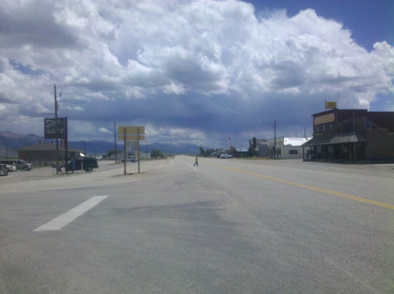
The next morning we rose, with 40 miles left. Around 20 miles in scrubland and 20 more on the road. We passed our last spring, drank plenty of water, and decided lunch would be at the roadside. The heat today was stifling. The kind of heat that makes your head feel like its ready to pop. We missed a turn and ended up walking a few extra miles here much to my dismay. I knew this would add an hour to our already long day. At the roadside we ate the last of our food and psyched up for walking on a hard paved surface. Walking on a hard surface compared to trail is agony. The soft trail gives, and absorbs. But asphalt is solid and unkind to joints, at least when pacing anyways. Around ten miles along, we sat in a drainage ditch for a ten minute breather, there was no shade from the sun. It would be a long slow descent down to the town of Rawlins. A car spotted us and pulled over asking if we wanted a ride and we thanked the driver, but insisted the walk was necessary. It was a grind, and even though we were still hiking fast. It was brutal.
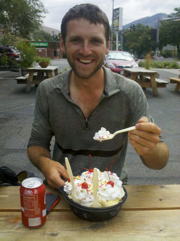
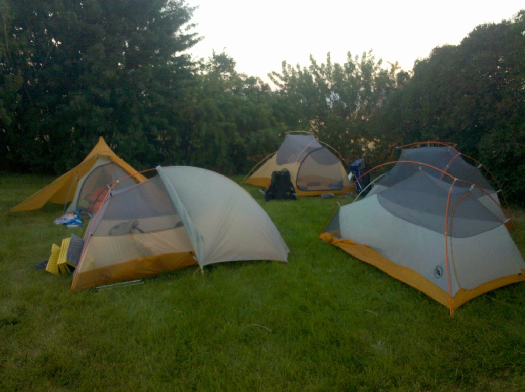
Arriving in at about 4pm we walked into the center of Rawlins and met Kirsten who had a beer waiting for us. We drank a beer each and went over to the campsite. Pitching up on the soft grass I lay back and looked up at the sky, the grass was so nice compared to the basin. Adding up the hours we walked each day, we managed to average over 4mph the whole way. This crossing seemed the epitome of embracing the brutality. Who knew suffering was so much fun.
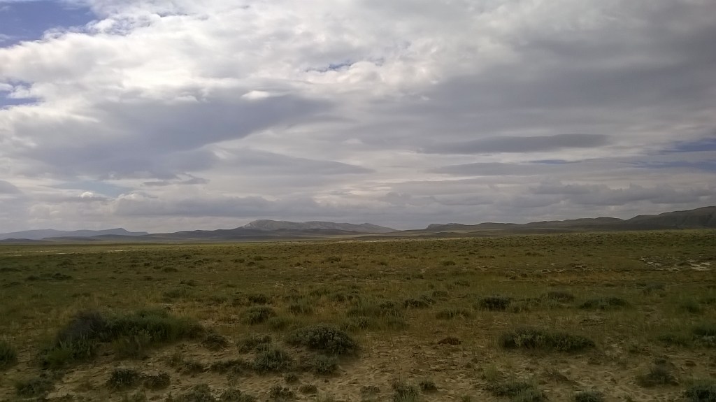
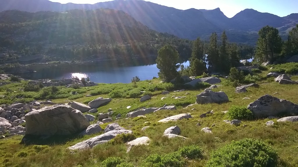
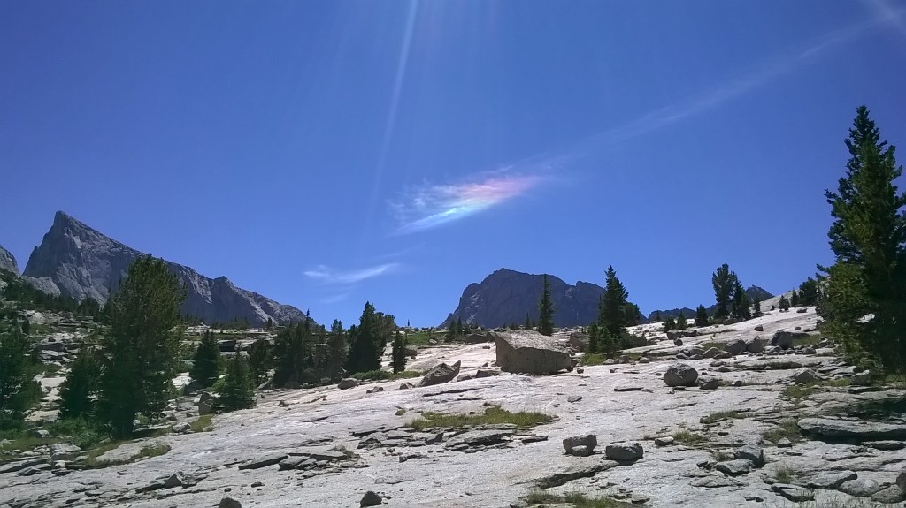
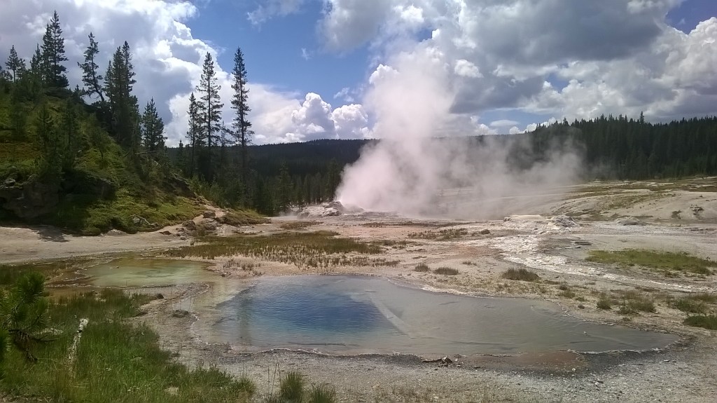
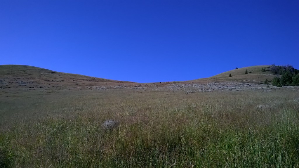
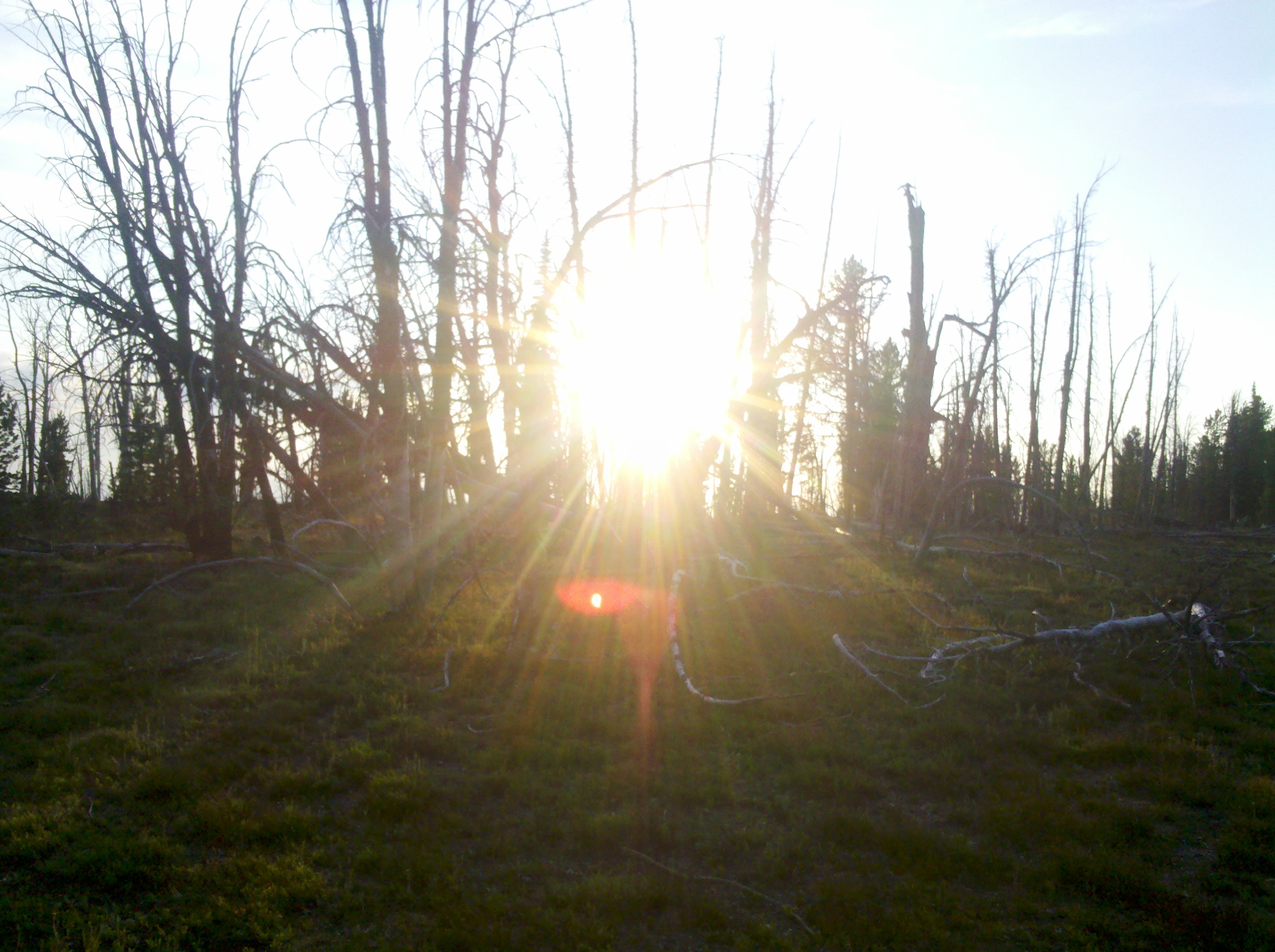
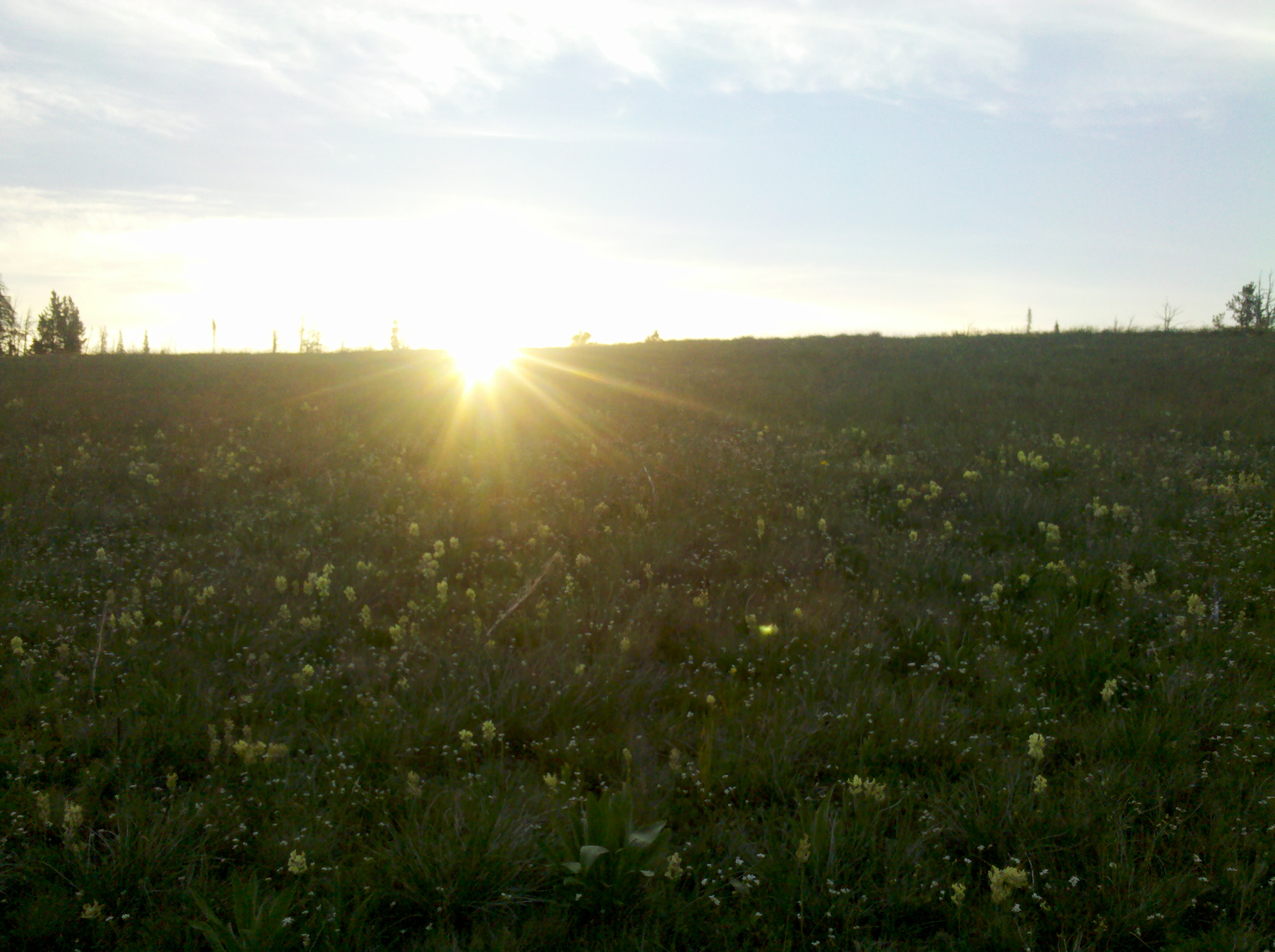
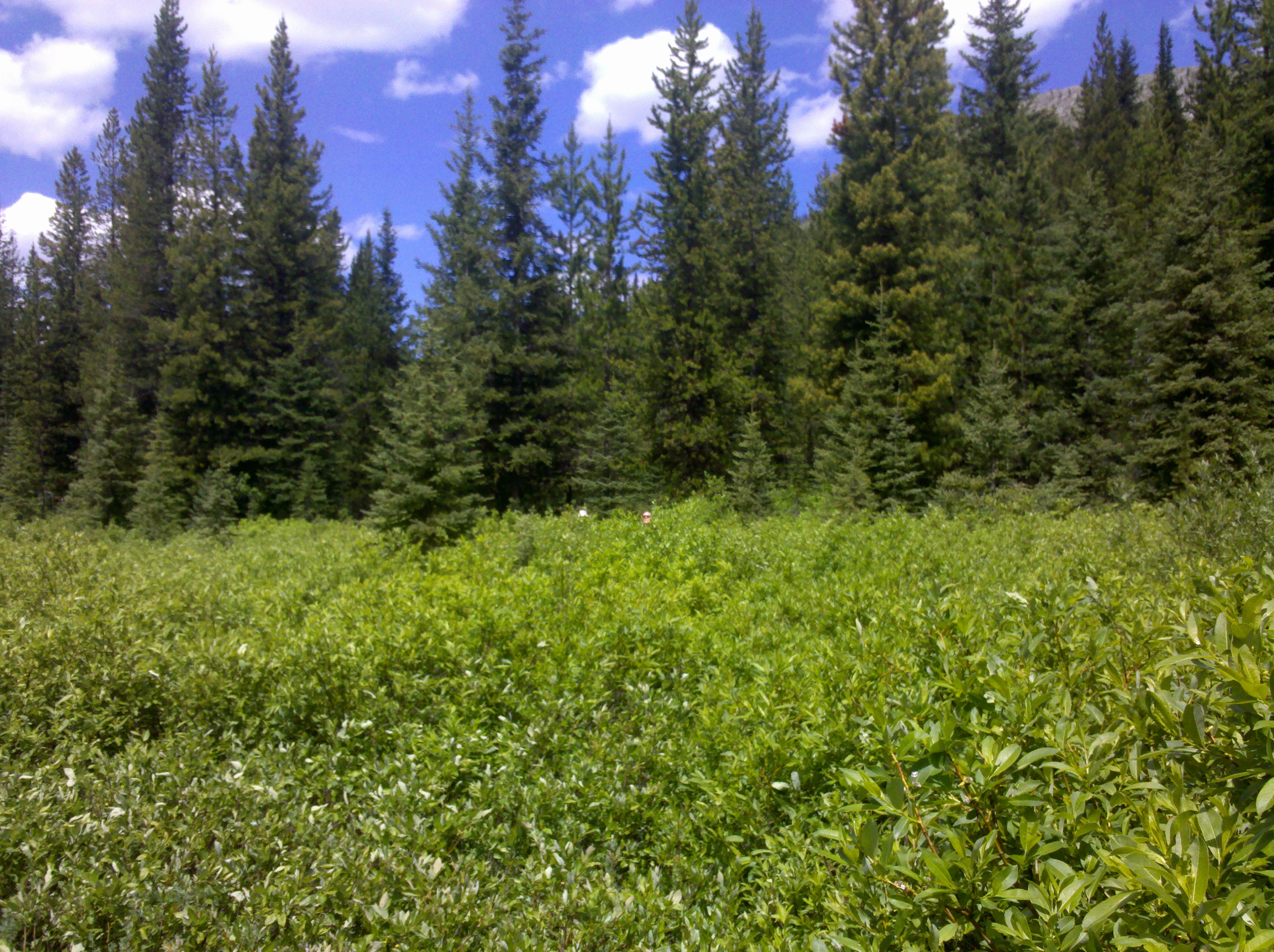
vast expanse 
the seeds on my shoe would get inside the socks and itch away 
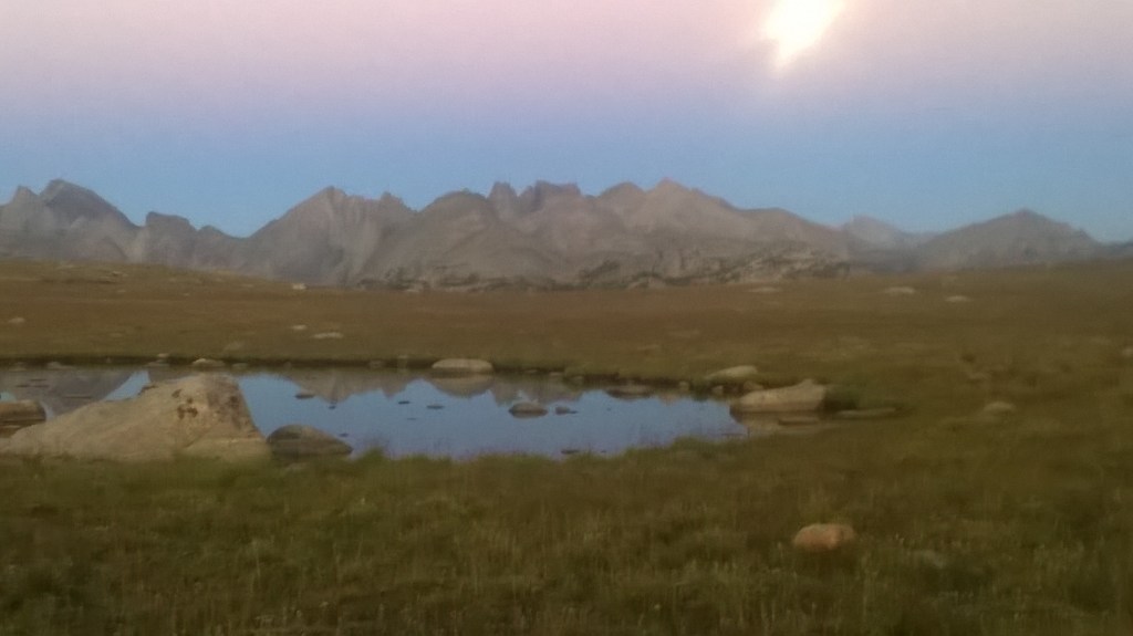
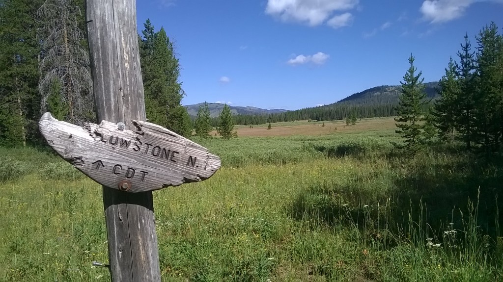
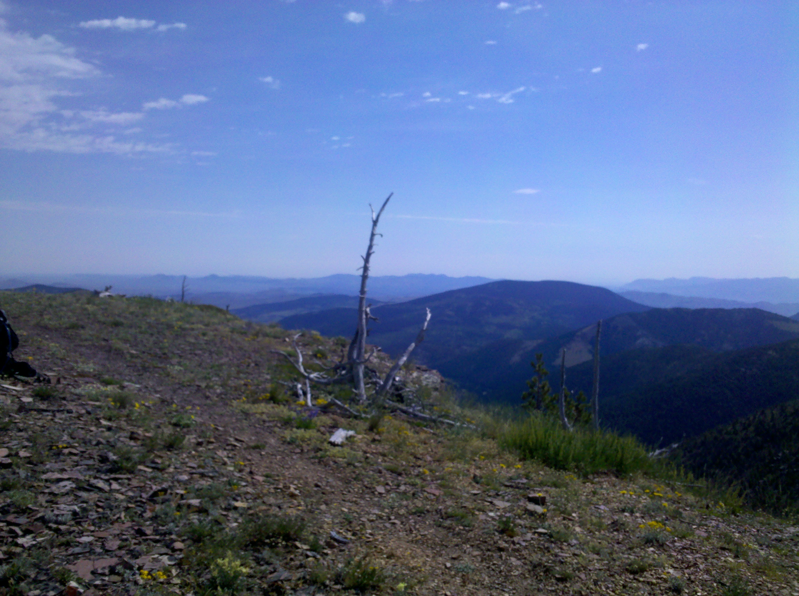
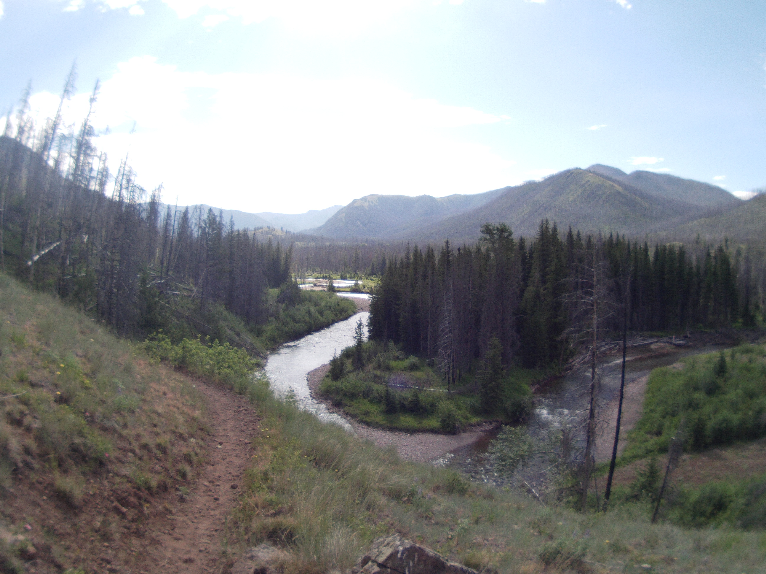
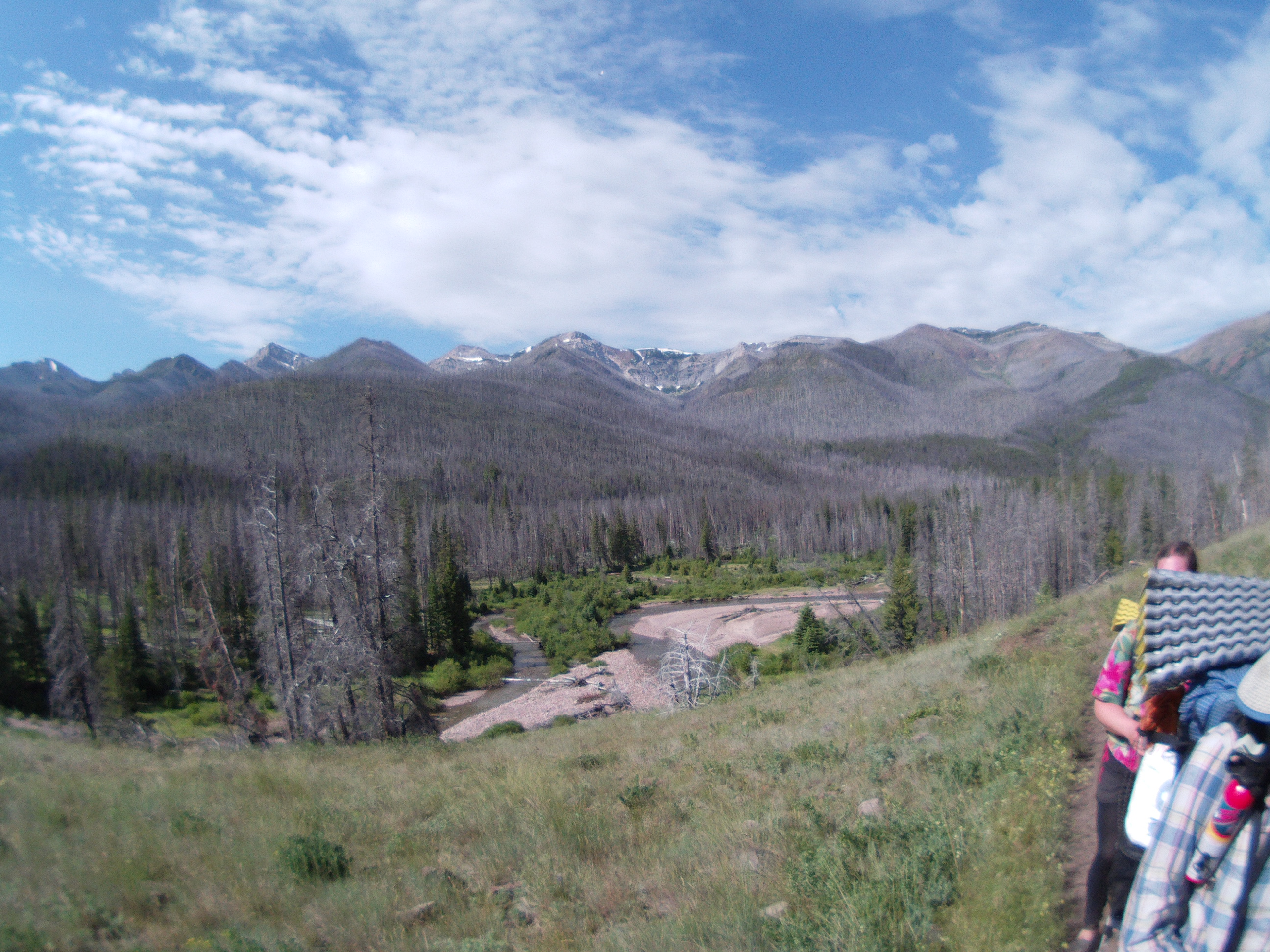
more vast expanse